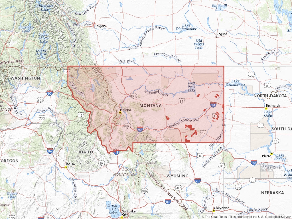
Montana has 156 records of coal leases on public land managed by the Bureau of Land Management.
Quick Facts
- 156 records of coal leases on public land managed by the Bureau of Land Management.
- 46 authorized coal leases
- 4 pending coal leases
- 3 expired coal leases
- 118,698 authorized coal acres
- 17,518 pending coal acres
- 103 closed coal leases
Recently Updated Coal Leases
Most recently updated leases in Montana.
Coal Leases (BLM)
Montana has 156 coal leases on public land listed in The Coal Fields™. Of these leases, 29.49% are authorized while 66.03% are now closed. Big Horn, Rosebud, and Treasure are the most authorized counties in Montana.
Quick BLM Facts
- 156 records of coal leases on public land managed by the Bureau of Land Management.
- 46 records of authorized coal leases
- 4 records of pending coal leases
- 103 records of closed coal leases
- 3 records of expired coal leases
Popular Public Lands & Regions
in Montana
Land TypeTotal LeasesPending LeasesClosed LeasesExpired LeasesCancelled LeasesWithdrawn LeasesRelinquished LeasesRejected LeasesPending Acres
Powder River Basin
Oil and Gas
119
4
71
3
0
0
0
0
17,518.57
Williston Basin
Oil and Gas
27
0
23
0
0
0
0
0
0
North Central Coal Region
Oil and Gas
9
0
8
0
0
0
0
0
0
Northern Cheyenne Indian Reservation
Indian Lands
4
0
2
1
0
0
0
0
0
Custer National Forest
National Forests
3
0
2
1
0
0
0
0
0
Top Owners
in Montana
CityStateCategoryInterest RelationshipTotal LeasesPending LeasesClosed Leases
Decker Coal Co.
South Jordan
Utah
Corporation
Applicant
18
2
0
Westmoreland Rosebud Mining LLC
Englewood
Colorado
Corporation
Lessee
17
0
0
Navajo Transitional Energy Co.
Broomfield
Colorado
Corporation
Lessee
6
0
0
Nance/Brown
Birney
Montana
Private
Proponent
11
0
6
Signal Peak Energy LLC
Roundup
Montana
Corporation
Applicant
2
0
1
Popular Towns, Cities, Etc.
in Montana
CountyStateTotal LeasesPending LeasesClosed LeasesExpired LeasesCancelled LeasesWithdrawn LeasesRelinquished LeasesRejected LeasesPending Acres
Decker
Big Horn
Montana
66
4
40
0
0
0
0
0
17,518.57
Kirby
Big Horn
Montana
61
3
37
0
0
0
0
0
4,900.46
Colstrip
Rosebud
Montana
42
0
24
0
0
0
0
0
0
Lame Deer
Rosebud
Montana
41
0
21
1
0
0
0
0
0
Muddy
Big Horn
Montana
38
0
20
0
0
0
0
0
0
Coal Lease News From The Coal Fields™
Learn more about the Bureau of Land Management, Public Land Survey System, and coal leases.
-

Understanding Lease Ownership
We receive lots of emails from people who find their name or a relative’s name on our site and want to know if this means they have some right to the land listed under that name.
-
Understanding BLM Administrative Areas
Whether it is filing a lease or researching one, the administering BLM office is going to be the definitive source.
-
Understanding Location Data
Lease handled by the Bureau of Land Management are not mapped by latitude and longitude, instead, these leases harken back to the Public Land Survey System.
-
Understanding Townships
A “township” can refer to two different things. Both are part of the PLSS measurement system but have different uses.