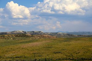
Yah-ta-hey, New Mexico Overview
Yah-ta-hey, New Mexico includes 11 nearby coal leases. Yah-ta-hey (Navajo: Tʼáá Bííchʼį́įdii) is a census-designated place (CDP) in McKinley County New Mexico United States. As of the 2000 census the CDP population was 580. The English name for this place is an approximation of a Navajo greeting though the Navajo name means like the devil in reference to J.B. Tanner who operated the trading post located here.
Quick Facts
- Yah-ta-hey, New Mexico has a population of 590 (based on numbers from 2010).
- Located in McKinley County, New Mexico.
- Yah-ta-hey, New Mexico sits 2,002 meters (6,568.2 feet) above sea level feet above sea level.
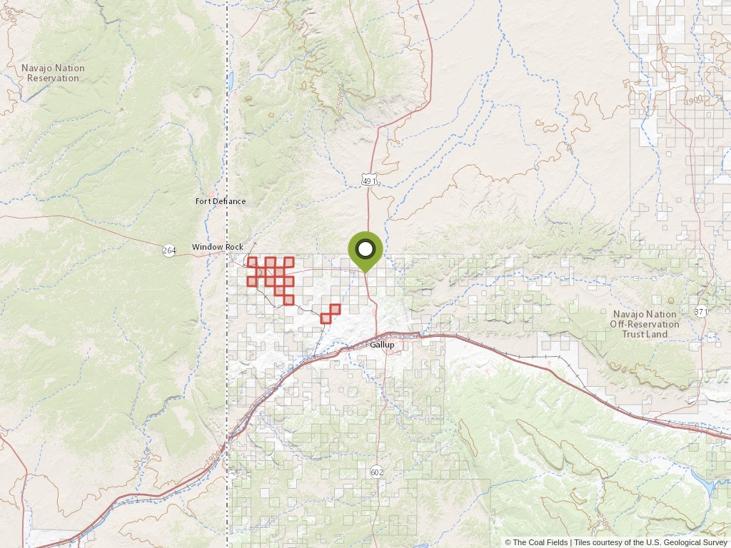
Yah-ta-hey, New Mexico Coal Mining Leases
Click to open an interactive map.
© The Coal Fields™
Coal Lease News From The Coal Fields™
Learn more about the Bureau of Land Management, Public Land Survey System, and coal leases.
-

Understanding Lease Ownership
We receive lots of emails from people who find their name or a relative’s name on our site and want to know if this means they have some right to the land listed under that name.
-
Understanding BLM Administrative Areas
Whether it is filing a lease or researching one, the administering BLM office is going to be the definitive source.
-
Understanding Location Data
Lease handled by the Bureau of Land Management are not mapped by latitude and longitude, instead, these leases harken back to the Public Land Survey System.
-
Understanding Townships
A “township” can refer to two different things. Both are part of the PLSS measurement system but have different uses.