T.41N, R.71W, 6th P.M. has 39 records of coal leases on public land managed by the Bureau of Land Management.
Quick Facts
- 39 records of coal leases on public land managed by the Bureau of Land Management.
- 14 authorized coal leases
- 1 pending coal leases
- 49,804 authorized coal acres
- 3,508 pending coal acres
- 24 closed coal leases
Leases Summary
in T.41N, R.71W, 6th P.M.
- 39 Total
- 14 Authorized
- 1 Pending
- 24 Closed
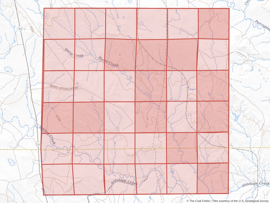
T.41N, R.71W, 6th P.M. Coal Mining Leases
Click to open an interactive map.
© The Coal Fields™
Recently Updated Coal Leases
Most recently updated leases in T.41N R.71W.
Coal Leases (BLM)
T.41N, R.71W, 6th P.M. has 39 coal leases on public land listed in The Coal Fields™. Of these leases, 35.9% are authorized while 61.54% are now closed.
Quick BLM Facts
- 39 records of coal leases on public land managed by the Bureau of Land Management.
- 14 records of authorized coal leases
- 1 record of pending coal leases
- 24 records of closed coal leases
Coal Lease News From The Coal Fields™
Learn more about the Bureau of Land Management, Public Land Survey System, and coal leases.
-

Understanding Lease Ownership
We receive lots of emails from people who find their name or a relative’s name on our site and want to know if this means they have some right to the land listed under that name.
-
Understanding BLM Administrative Areas
Whether it is filing a lease or researching one, the administering BLM office is going to be the definitive source.
-
Understanding Location Data
Lease handled by the Bureau of Land Management are not mapped by latitude and longitude, instead, these leases harken back to the Public Land Survey System.
-
Understanding Townships
A “township” can refer to two different things. Both are part of the PLSS measurement system but have different uses.