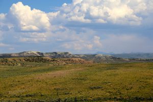
Roseglen, North Dakota Overview
Roseglen, North Dakota includes 17 nearby coal leases. Roseglen is an unincorporated community in northwestern McLean County North Dakota United States. It lies along North Dakota Highway 37 northwest of the city of Washburn the county seat of McLean County. Its elevation is 2100 feet (640 m). Although it is unincorporated it has a post office with the ZIP code of 58775. Roseglen Township is served by the White Shield School District which operates a K-12 public school program from one campus in Roseglen.
Quick Facts
- Located in McLean County, North Dakota.
- Roseglen, North Dakota sits 640 meters (2,099.7 feet) above sea level feet above sea level.
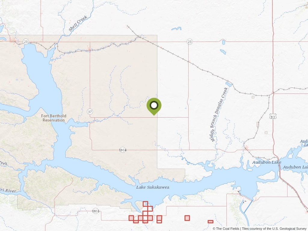
Roseglen, North Dakota Coal Mining Leases
Click to open an interactive map.
© The Coal Fields™
Coal Lease News From The Coal Fields™
Learn more about the Bureau of Land Management, Public Land Survey System, and coal leases.
-

Understanding Lease Ownership
We receive lots of emails from people who find their name or a relative’s name on our site and want to know if this means they have some right to the land listed under that name.
-
Understanding BLM Administrative Areas
Whether it is filing a lease or researching one, the administering BLM office is going to be the definitive source.
-
Understanding Location Data
Lease handled by the Bureau of Land Management are not mapped by latitude and longitude, instead, these leases harken back to the Public Land Survey System.
-
Understanding Townships
A “township” can refer to two different things. Both are part of the PLSS measurement system but have different uses.